The 5 Types of Fog: Your Essential Guide for the Transport Canada Pilot Exam
"Go/No-Go?"
Fog is the silent flight-plan killer. It’s the only weather phenomena that can form in perfectly clear skies while you sleep, ruining your VFR departure before you even wake up.
On Transport Canada exams, fog isn't just about definitions; it's about ingredients. If you can identify the ingredients (Wind + Cooling + Moisture), you can predict the fog.
Here is how to spot the 5 types before they ground you.
🎥 Watch the video here:
The Five Types Every Pilot Should Recognize
1. Upslope Fog: The Mountain Challenge
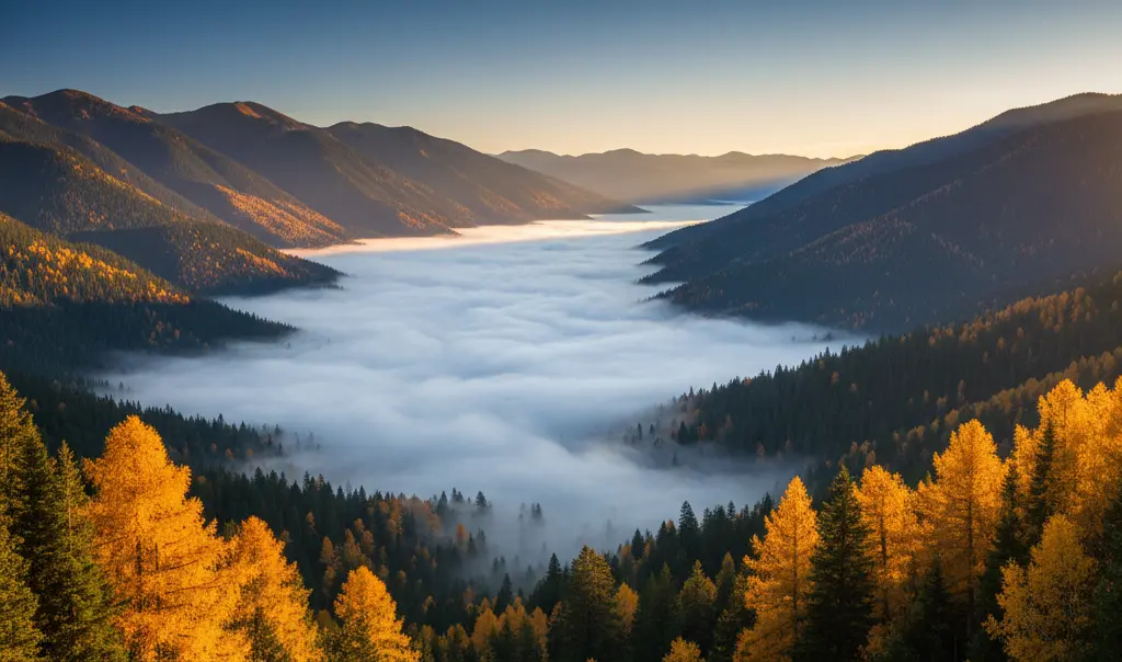
How it forms: Upslope fog forms when stable, moist air is forced to rise up gradual sloping terrain (mountains or hills). As the air rises, it expands, cools to its dew point (adiabatically), and condenses into fog along the slope.
Where it happens: This type requires both terrain and wind. It's usually found on windward mountain slopes or high terrain, notably along the eastern slopes of the Rockies.
Key points for the exam:
-
Formed by rising air that cools and condenses.
-
Requires both moisture and wind working together.
-
Common on windward slopes.
2. Advection Fog: The Coastal Thief
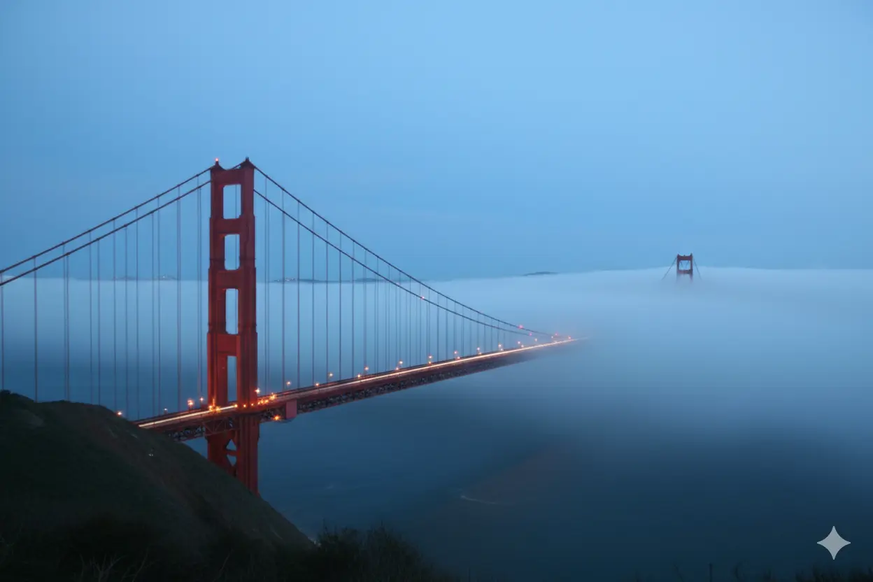
How it forms: Advection fog is caused by warm, moist air moving horizontally across a cold surface (land or water). The ground/water rapidly cools the air layer directly above it to the dew point, forming a dense, often persistent, fog layer.
Where it happens: Highly common in coastal regions where warm air from the sea meets cold land or cold ocean currents, such as the famous fog of San Francisco Bay.
Key points for the exam:
-
Formed by horizontal air movement (advection).
-
Can occur day or night, over land or water.
-
Often dense, extensive, and long-lasting.
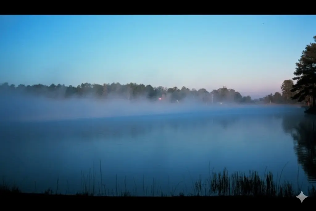
3. Radiation Fog: The Clear Night Killer
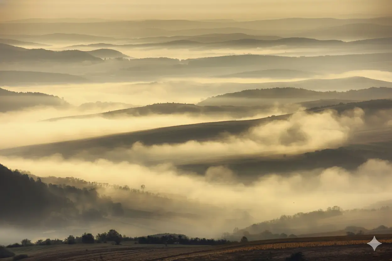
How it forms: Radiation fog forms on clear, calm nights (light winds less than 5 knots) when the ground rapidly loses heat after sunset (radiational cooling). The cooled ground chills the air immediately above it to the dew point.
Where it happens: Look for it in valleys and flat terrain during autumn and winter when nights are long, calm, and skies are clear.
Key points for the exam:
-
Requires clear skies and light winds to form. Students often think radiation fog needs calm air. It actually requires light wind (2-5 knots) to mix the cool air. If it is dead calm, you get dew or frost, not fog. If the wind is too strong (>15 knots), it lifts into stratus clouds.
-
Forms overnight and typically dissipates quickly after sunrise.
-
Often reported as ground fog.
4. Rain Fog (Frontal Fog): The Precipitation Problem
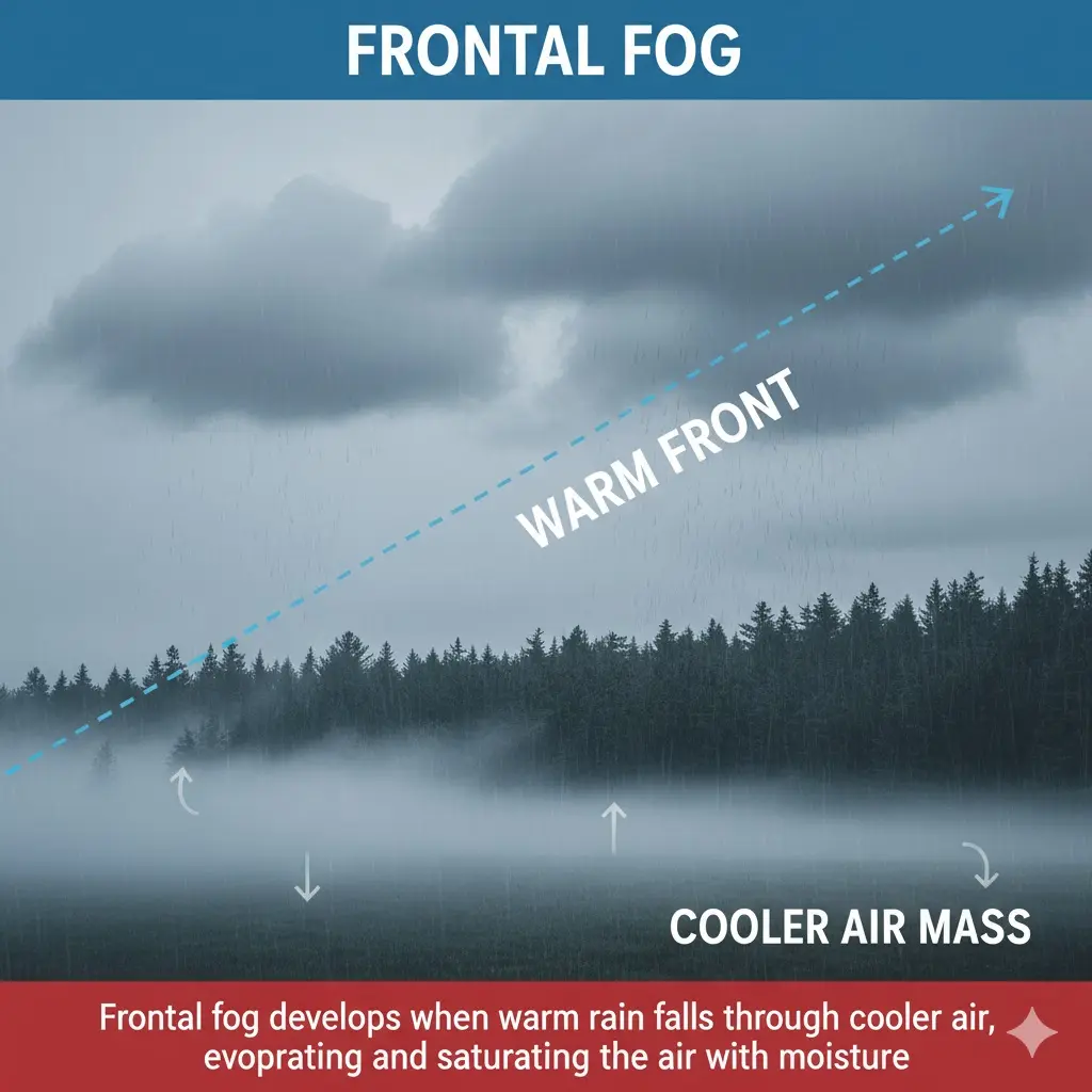
How it forms: Rain fog, or frontal fog, occurs when warm rain falls through cooler air near the surface. The rain evaporates as it falls, saturating the cooler air below and increasing the humidity until fog forms.
Where it happens: This is strongly linked to frontal systems, typically occurring ahead of a warm front where warm air is precipitating into cooler air trapped below.
Key points for the exam:
-
Caused by evaporation and cooling from rain.
-
Linked to frontal systems, specifically warm fronts.
-
Sometimes referred to as precipitation-induced fog.
5. Steam Fog (Arctic Sea Smoke): The Reverse Condition
How it forms: Steam fog forms when cold, dry air moves over a much warmer water surface. Rapid evaporation from the warm water meets the cold air, quickly cooling and condensing into fog, often appearing as "steam."
Where it happens: Common over lakes, rivers, or ocean water during winter—the Great Lakes or northern/Arctic regions are prime examples.
Key points for the exam:
-
The reverse of advection fog (cold air over warm water).
-
Caused by cold air over warm water.
-
Appears as steam-like wisps above the surface.
- Steam fog is unique because it is associated with unstable air and turbulence (low level). Most other fogs are stable.
The Cheat Sheet
Memory Aid: Try: "F.A.R.S.U." (Frontal, Advection, Radiation, Steam, Upslope).
| Type of Fog | How It Forms | Common Conditions | Example Locations |
|---|---|---|---|
| Upslope Fog | Air rises and cools along terrain | Moist air, steady wind | Mountain slopes |
| Advection Fog | Warm air moves over a cold surface | Coastal, breezy | San Francisco Bay |
| Radiation Fog | Ground cools overnight | Clear nights, light winds | Valleys, plains |
| Rain (Frontal) Fog | Rain evaporates into cool air | Warm fronts | Low-pressure systems |
| Steam Fog | Cold air over warm water | Winter, Arctic |
Great Lakes, northern coasts |
How to Study for the Exam
Step 1 – Use Official Resources
Always begin with the source material. Review the Study and Reference Guide for written examinations for the Flight Instructor Rating Aeroplane - TP 15219
Step 2 – Visualize the Airflow
Don't just memorize definitions. Use diagrams and videos to see the airflow and temperature changes visually. This helps lock in why each fog type forms under those specific conditions.
Step 3 – Practice Scenario-Based Questions
The exam will present a weather scenario. Match the description to the fog type:
-
Scenario: “Clear night with light winds” → Answer: Radiation fog
-
Scenario: “Warm air moving over cold water” → Answer: Advection fog
-
Scenario: “Cold air over warm lake” → Answer: Steam fog
Conclusion
Mastering fog is more than just passing a test—it’s about mastering real-world visibility challenges. Understanding the specific conditions that cause upslope, advection, radiation, rain, and steam fog is the difference between rote memorization and true weather knowledge. That comprehensive understanding is what will enable you to make safe, confident go-or-no-go decisions throughout your flying career.
Ready to Ace Your Aviation Weather Exam?
Get prepared for your PPL, CPL, or Flight Instructor Rating written exam with our comprehensive courses and practice tests.
✈️ Start your journey today: